
 Tiếng Việt
In this post, I would like to draw your attention to a global forest cover map that will play a role in your journey towards compliance with the EU Deforestation-free Regulation (EUDR, Regulation (EU) 2023/1115).
Why do we care about the forest cover map for 2020?
For background, I will explain why you should pay attention to December 31, 2020 – the so-called “cut-off date” – and the status of the forest in 2020.
Regulation (EU) 2023/1115, often known as the EU Regulation on Deforestation-free Supply Chain sets out rules to guarantee that the supply chains for key commodities, after 2020, are free of deforestation and forest degradation. The geolocation of production areas and the assessment of deforestation and degradation risk by operators and traders are mandated by law. While stakeholders are not required to use maps in the EUDR’s implementation, this regulation can benefit from accurate and representative maps of the forest presence in 2020.
The global forest cover map for the year 2020 could potentially serve companies in the assessment of the risk of deforestation when declaring plots of commodities and competent authorities for the sample selection of declarations to be checked with more detailed and robust data. The map is just one of many tools available to companies for risk assessment. Companies can and should use multiple sources of forest or land use maps and complementary datasets, particularly at the national scale where they exist and are available, to assess the risk of relevant commodities and derived products sourced from areas likely to be deforested and degraded after 2020.
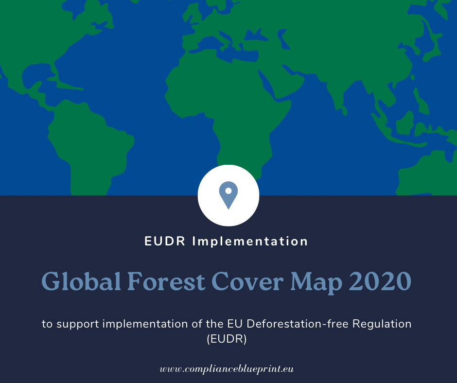
Global forest cover map 2020 published by the European Commission
The European Commission recently published the first version of the Global Forest Cover Map for the year 2020 with a spatial resolution of 10 m to support the implementation of the EUDR. In the context of the EUDR, the map is intended to assist operators in assessing whether a commodity covered by the EUDR, namely cattle, cocoa, coffee, oil palm, rubber, soy and wood, or a derived product imported into or exported from the European market, has been produced in areas that have been subject to deforestation after 2020.
The Global Forest Cover Map for the year 2020 (GFC 2020) corresponds to the cut-off date of the EUDR (December 31, 2020). EU Observatory on Deforestation and Forest Degradation (shortened: “Observatory”) provides access to the GFC 2020.
The map was developed using a combination of the most recent, publicly available land cover and land use datasets or related products at fine spatial resolution on a global scale. The definition of forest in the map aligns with the forest definition by FAO which is the same definition in the EUDR.
Detail of the map:
Name: Global Forest Cover for the year 2020 (abbreviated “GFC 2020”)
Spatial resolution: 10m
Datasets: Build on several global datasets to map the presence and absence of forests for year 2020.
Access: Open-source, free of charge
Legal status: non-mandatory, non-exclusive and is not legally binding.
According to EC’s report on the map, it means:
Non-mandatory: There is no obligation for companies and competent authorities concerned with the implementation of the EUDR, to use GFC 2020 or any other map.
Non-exclusive: The map is provided free of charge. Other maps can be used and may have advantages and the regulation does not prescribe modalities of and for map use.
Not legally binding: The map is one of many tools that support the implementation of the regulation, notably the risk assessment. It will be up to the operator to provide compelling evidence for the risk assessment and the competent authority to carry out detailed and robust compliance checks.
Where to access the map?
- EU Forest Observatory website (visualization) – https://forest-observatory.ec.europa.eu/forest/gfc2020
- JRC Data catalogue (metadata) – https://data.jrc.ec.europa.eu/dataset/10d1b337-b7d1-4938-a048-686c8185b290
- Forobs website (download in tiles) – https://forobs.jrc.ec.europa.eu/GFC
- WMS (visualisation): – https://ies-ows.jrc.ec.europa.eu/iforce/gfc2020/wms.py?
- GEE asset (visualisation and processing) – https://developers.google.com/earth-engine/datasets/catalog/JRC_GFC2020_V1
Experts’ opinion about the map
The map showed no significant large-scale mapping errors, according to all of the experts who reviewed it. Instead, it closely matched the expected forest pattern in the region that they reviewed.
The preliminary overall accuracy of the map is estimated to be 76%.
What to look for next?
- a formal, statistically and conceptually sound accuracy evaluation of the map is scheduled to take place in 2024.
- Feasibility assessment of mapping forest degradation according to the EUDR definition.
- A second version of the GFC 2020 map is expected to be available by the end of 2024 before the EUDR comes into effect.